Looking for one mountain home that unlocks both Big Bear and Lake Arrowhead without the long cross-valley drives? If you want quick access to ski days, summer lake time, and laid-back village evenings, Running Springs fits the brief. In this guide, you’ll see why the town’s location works, what a real weekend looks like, and what to know about owning here. Let’s dive in.
Why Running Springs works as basecamp
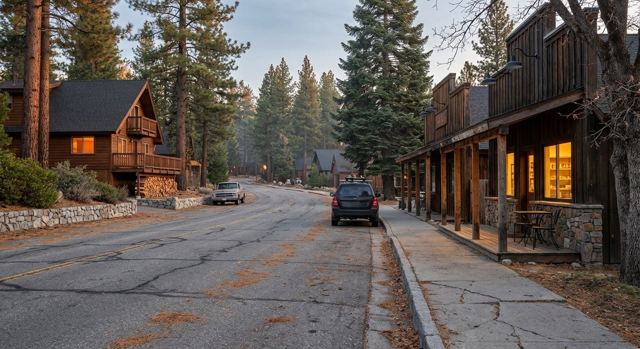
Sitting around 6,000 feet at the junction of State Route 330 and State Route 18, Running Springs is a practical hub for the San Bernardino Mountains. Locals often describe it as a gateway because you can reach Snow Valley, Lake Arrowhead, and Big Bear Lake quickly from a single home base. You get the flexibility to chase the best weather, conditions, and crowds on any given day. Learn more about the town’s setting through the local chamber of commerce at the Running Springs Area Chamber.
Access, routes, and drive times
- Running Springs to Big Bear Lake via SR 18 east is roughly 17 to 18 miles. In good conditions, many trips land within about a half hour depending on start and end points. Check a sample distance on Travelmath’s Running Springs to Big Bear page.
- Running Springs to Lake Arrowhead via SR 18 west is about 7 to 9 miles, which can be a 10 to 20 minute drive off peak. See a sample route on Travelmath’s drive distance tool.
- Snow Valley Mountain Resort sits about 5 miles east, so you can be on the lifts fast for spontaneous half days. Get the resort overview from the San Bernardino National Forest page for Snow Valley.
Limited local transit connects Running Springs and Lake Arrowhead, but most owners still prefer to drive for flexibility. Always confirm current road conditions before you go, especially on winter weekends and holidays.
Winter driving and chain controls
Mountain driving changes fast in storm cycles. Caltrans uses R-1, R-2, and R-3 chain control levels on mountain highways and posts checkpoints during storms. Review what each level means and how to prepare at the Caltrans chain controls guide. Carry chains, pack a small emergency kit, and build buffer time into your trips.
What weekends look like here
You do not have to choose between lakeside strolling and ski laps. From Running Springs, you can pivot plans by the hour.
Sample winter weekend
- Saturday morning: Grab fresh pastries at The Sugar Chalet, then head 5 miles to Snow Valley for morning laps or tubing. Warm up at lunch back in town.
- Afternoon: Walk an easy trail like the Children’s Forest area or browse local shops. Sit down for an early dinner at Victoria’s Family Restaurant.
- Sunday: If the snow keeps falling, pop back to Snow Valley for a half day and hit the road before traffic builds.
Sample summer weekend
- Saturday morning: Coffee and a breakfast sandwich, then an Arrowhead Village stroll for boutique browsing and lakeside views.
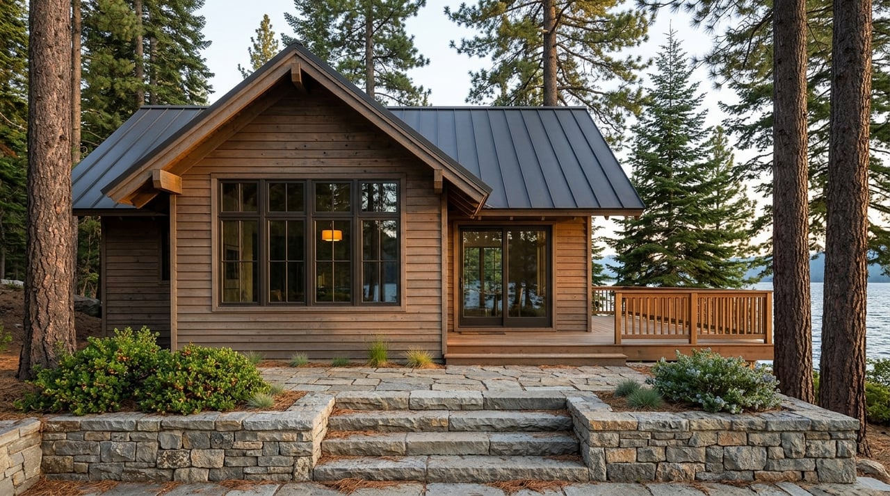
- Afternoon: Drive to Big Bear for boating, mountain biking, or a lakeside lunch. Return to Running Springs for sunset on the deck.
- Sunday: Knock out quick cabin chores, then a short hike toward Keller Peak before heading home.
If you love local color, the seasonal Farmers Market & Artisan Faire is a Saturday staple in town when in season. It is an easy way to start the day and stock up on picnic items without a long drive.
Local food, shops, and services
Running Springs has a small-town mix of everyday essentials with a few standouts locals swear by.
- Eats: Rocky’s Roadhouse for hearty deli-style sandwiches. The Sugar Chalet for fresh-baked treats. Victoria’s Family Restaurant for a classic diner feel.
- Shops: Rustique Furniture and other boutiques make for a quick browsing loop.
- Auto help: RS Tires and nearby garages can sort snow tires or a flat after a mountain drive.
For bigger grocery runs, many owners stop in Lake Arrowhead or Big Bear for full-service supermarkets. Plan stock-ups ahead of storms or late-night arrivals so you are set for the weekend.
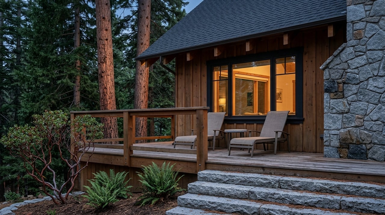
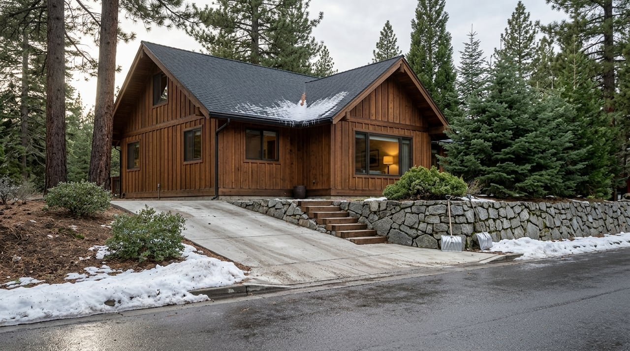
Owning a cabin: practical realities
Running Springs lives like a true mountain town. A meaningful share of local properties are used seasonally, which shapes rhythms and services. Zip code data for 92382 shows a notable seasonal and vacation-home component, a trend that often means quieter weekdays and busier holidays for parking and dining. See a ZIP-level snapshot at ZIP-Codes’ 92382 page.
Wildfire risk and mitigation
This is a wildland urban interface community, so fire preparedness is ongoing. The Mountain Rim Fire Safe Council runs defensible-space programs, chipping events, and homeowner education. It is a go-to resource for practical steps and potential funding. Learn more at the Mountain Rim Fire Safe Council.
Large incidents can trigger temporary closures and evacuations. Recent events like the Line Fire underline the importance of having an evacuation plan and staying informed. Review incident updates and guidance through CAL FIRE’s Line Fire page.
Insurance, maintenance, and budgeting
California’s insurance market has shifted, especially in wildfire-exposed areas. Many mountain owners now treat insurance as a major budget line and explore a mix of private carriers and state options. For context on the statewide trend, see this overview of California home insurance and wildfire costs. Your exact pricing and requirements will vary by address and mitigation steps, so start quotes early.
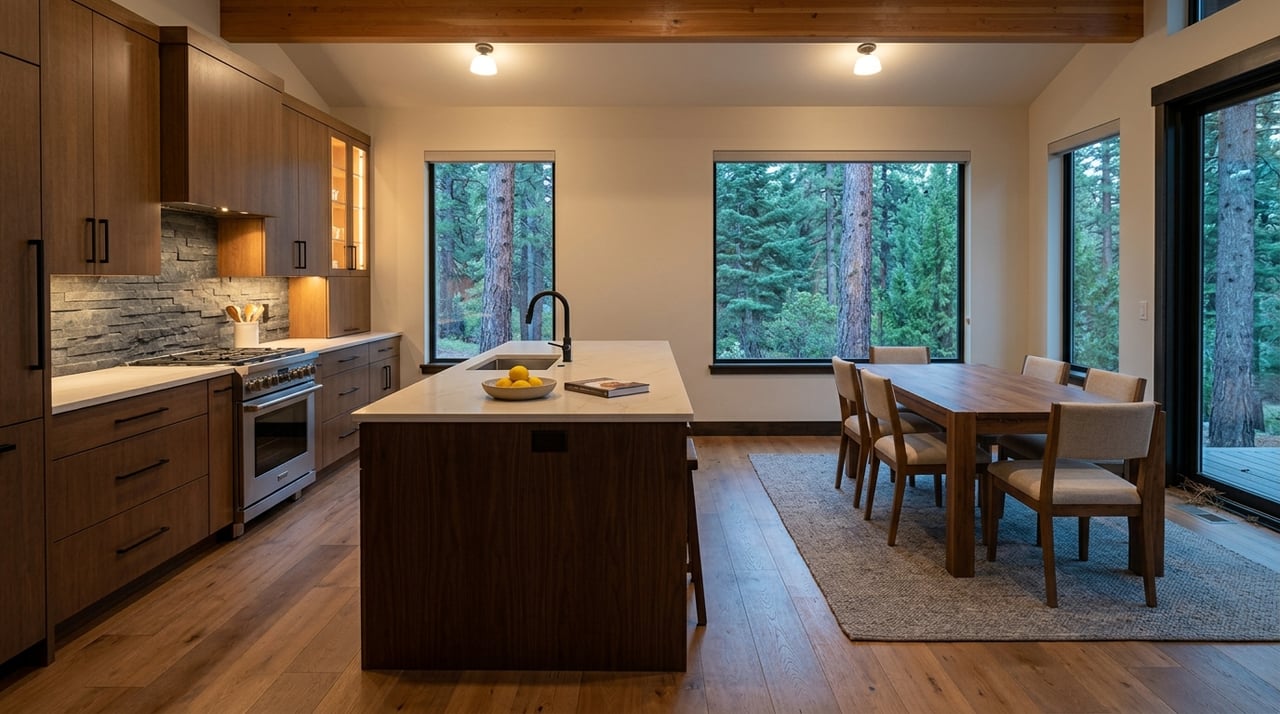
Cabin ownership also means planning for snow management, steep driveways, and regular gutter and tree work. Lining up a reliable plow service and scheduling seasonal maintenance will keep weekends focused on fun, not chores.
Utilities and connectivity
Expect a standard mountain utility mix that can vary block by block. Water is served by local districts, power by Southern California Edison, and internet ranges from cable or DSL in some pockets to fixed wireless or satellite in others. If you work remotely, verify exact service at the address. You can compare providers and availability on the Running Springs internet providers map.
Buyer checklist for Running Springs
Use this quick list to plan, budget, and enjoy your basecamp.
- Carry chains and know how to install them. Review control levels on the Caltrans chain controls page before every winter drive.
- Build travel buffer on holiday and powder weekends when Big Bear and Arrowhead traffic surges.
- Check driveway slope and snow-clearing logistics during showings. Budget for plowing or a snow-capable vehicle.
- Prioritize defensible space and track local chipping events. The Mountain Rim Fire Safe Council is a key resource.
- Get insurance quotes early and ask about mitigation credits where available. For statewide context, scan this insurance and wildfire overview.
- Verify internet options at the exact address using the Running Springs providers map.
- Note weekday service windows for the post office and trash, and keep a small cabin kit ready with food, heat or cooking fuel, flashlight, shovel, and chains.
Is Running Springs right for you?
If you want flexible access to three distinct experiences within short, scenic drives, Running Springs is an easy yes. You can split weekends between lift laps at Snow Valley, lakeside time in Arrowhead, and bigger adventure days in Big Bear, all from one practical home base. That combination is exactly why many Southern California families and investors pick Running Springs for their first mountain cabin.
Ready to explore homes that make the most of this basecamp location? Our team combines deep local roots with concierge-level service, from search and evaluation to vendor coordination and guest-ready prep. Reach out to SoCal Resorts Group for tailored recommendations or to get a free home valuation.
FAQs
Why choose Running Springs as a basecamp between Big Bear and Arrowhead?
- The town sits at the junction of SR 330 and SR 18 around 6,000 feet, which makes quick day trips to Snow Valley, Lake Arrowhead, and Big Bear straightforward in most conditions.
How long is the drive from Running Springs to Big Bear Lake in typical conditions?
- In light traffic and clear weather, many trips land around a half hour depending on your exact start and end points, with roughly 17 to 18 miles via SR 18 east.
Do I need tire chains to reach Running Springs in winter?
- During storms, chain controls are common on mountain highways and checkpoints may be active, so you should carry chains, check conditions, and be prepared to install them when required.
Is homeowner insurance more expensive in Running Springs because of wildfire risk?
- Many mountain and wildland urban interface areas face higher premiums and changing carrier options, so you should start quotes early and discuss mitigation steps that may improve eligibility or pricing.
What internet options work for remote work in Running Springs?
- Availability varies by address, with some pockets served by cable or DSL and others relying on fixed wireless or satellite, so you should verify service at the specific property before you buy.